
SlopeSense reads the slope before it breaks.
A research prototype. The console shows timestamped weather-model snapshots from a public provider, labeled with source and age. There are no validated landslide risk scores and no official warnings.
Loading map
Representative points, not full district coverage
Time since the latest provider fetch
No data
No validated risk model, no official warnings
How it works
From a satellite pass to a phone in a village
The intended six-hour pipeline has five steps. Pick a step to see what happens inside it.
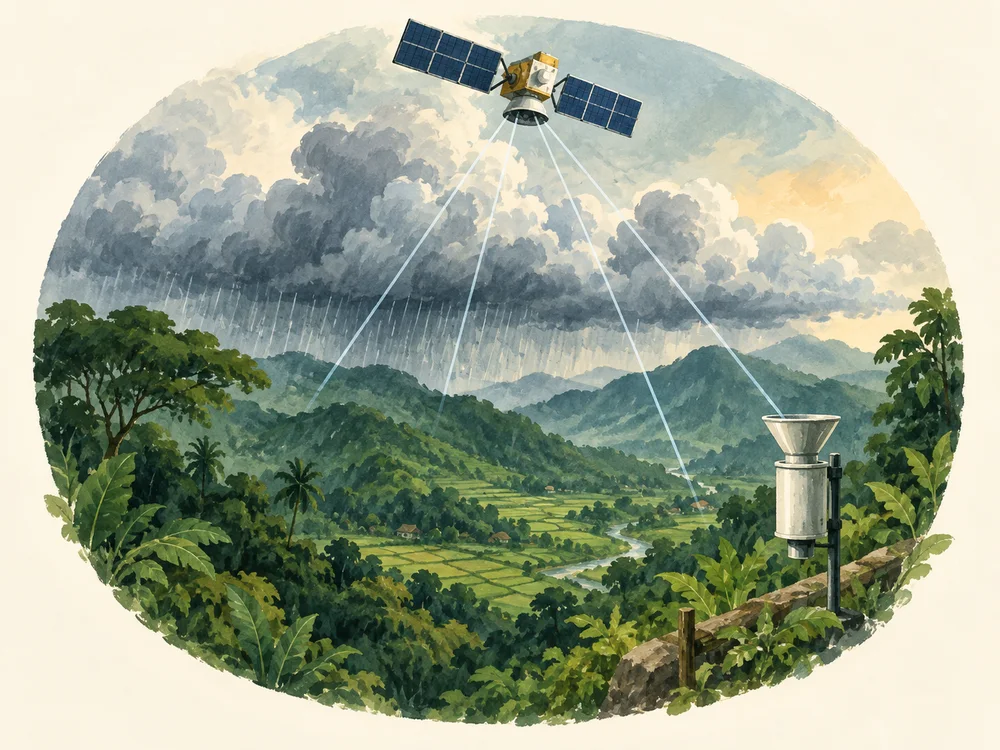
Proposed public data inputs
No new hardware on the hill
Rainfall, soil moisture, slope and forecast signals already exist in public data. Today the site stores and shows one provider's weather model values. Fusing the satellite feeds into a validated score is planned, not done.
Free satellite and model feeds
Planned inputs: GPM, SMAP, Copernicus DEM, Sentinel-2, GFS and static terrain layers. Today the site shows only Open-Meteo model values.
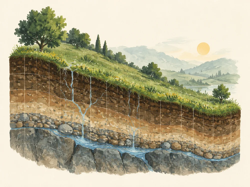
Planned grid resolution
Design target: score cell by cell, then roll up to blocks so the answer matches an administrative unit. Not running yet.

Snapshot cycle
Provider snapshots are fetched about hourly and shown with their fetch time. Check system status for freshness.

Evidence, not claims
Illustrative event replays, in the open
Synthetic replay, not a real warning
The bundled Wayanad example uses synthetic inputs and illustrative scores. It does not establish predictive accuracy or a warning delivered before the event.

CAP v1.2 native
Alerts are published as CAP XML and JSON through a REST API, so any system that speaks the Common Alerting Protocol can consume them.
Check any coordinate
Request the model index for a coordinate. Unavailable real inputs may return no score. FPI is not a calibrated probability.